More heat records fall with 115 on Friday; monsoon chances rise
Published in Weather News
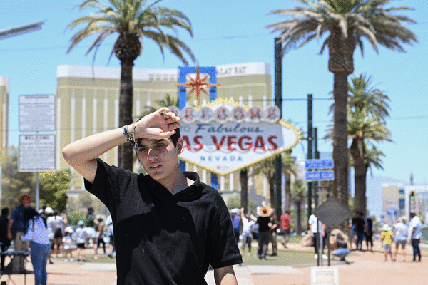
LAS VEGAS — Excessive heat continued its grip Southern Nevada on Friday with some relief developing by the weekend.
The official weather station at Harry Reid International Airport reached 111 degrees at 12:25 p.m. Pacific time, marking the 10th consecutive day with a high of 110 or more.
That tied two other 10-day stretches of 110 or higher in Las Vegas weather history — June 17-26, 1962, and July 14-23 of last year.
After a morning low of 94 around 3:30 a.m., the thermometer hit 100 by 7:20 a.m. and continued rising, albeit slowly compared to other days this week.
The forecast high was for 117, which would eclipse the current July 12 record of 114, last reached in 2003.
“We’ll probably hit 115 today,” National Weather Service meteorologist Matt Woods said.
Shortly before 3 p.m., the high hit 115, making Friday the seventh straight day for a new daily high temperature record. The streak started Saturday with a 115 before the all-time record of 120 on Sunday, followed by 115, 119, 118, 118 and 115.
The day also became the seventh straight day for the high to reach 115 or higher, yet another record.
The heat is likely to boost the average daily temperature (high and low each day) for the month. The first 11 days of July have seen an average temperature of 101.2. Last July was the record for Las Vegas at 97.3 for the entire month.
The weather service’s excessive heat warning was set to expire at 11 p.m. Friday, but could get extended.
Monsoonal conditions are expected to be a ”30 to 40% chance” on Saturday, meteorologists said, with the south and west portions of the valley most likely to receive afternoon moisture or thunderstorms. About a 30% chance of rain is expected Sunday.
“The bigger issue will likely be the winds,” meteorologist Matt Woods said.
A high of 111 is forecast for Saturday with wind gusts to 20 mph. If the 111 is realized, it will be the 11th consecutive day with a high of 110 or hotter, setting a record.
A Sunday high of 109 is predicted with a slight chance of showers and thunderstorms after 11 a.m. The risk of precipitation is 30 percent, dropping to 10% Sunday night.
Ozone was a factor in most parts of the west side of the valley on Friday afternoon with several areas listed as “unhealthy for sensitive groups.” The forecast is for air quality to improve to moderate on Saturday, according to Clark County.
___
©2024 Las Vegas Review-Journal. Visit reviewjournal.com.. Distributed by Tribune Content Agency, LLC.


Comments