Denver weather: Lingering snow tapers off Friday, with light snowfall for mountains
Published in Weather News
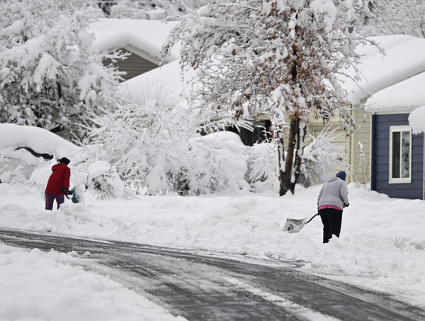
After a massive snow dump across the Front Range and foothills this week, light snow continues to fall across Colorado Friday morning but little to no additional accumulation is expected, according to National Weather Service meteorologists.
Snow showers in the Denver area will continue through noon, possibly turning into rain as temperatures approach a high of 40 degrees Friday afternoon, NWS forecasters said.
Less than half an inch of accumulation is expected in Denver and the urban corridor as the snow wraps up Friday morning, according to snowfall probability forecasts. Areas in the foothills could see 2 to 6 inches of fresh snow Friday.
The mountains, high valleys and foothills will see temperatures highs in the 20s and 30s, and temperatures in the urban corridor and plains will range from 38 to 51 degrees, NWS forecasters said.
As the snow clears over Denver this afternoon, a few lingering showers are expected to continue over the mountains, according to a NWS hazardous weather outlook.
The light snow will continue over the mountains and higher terrain this weekend, and will possibly return to areas south and west of Denver Saturday, the outlook stated.
The Denver area will see relatively warmer weather Saturday with a high temperature around 43 degrees, but as the temperature dips down to 29 degrees overnight rain forecasted for the city could turn back into snow, according to NWS meteorologists.
Rain and snow will continue overnight Saturday for Denver, wrapping up Sunday afternoon, meteorologists said.
Spring-like weather will return to the metro area next week, with high temperatures expected to hover around 60 degrees Monday through Thursday.
©2024 MediaNews Group, Inc. Visit at denverpost.com. Distributed by Tribune Content Agency, LLC.


Comments